Flying Drones Are Mapping New Oil Reserves In Norway
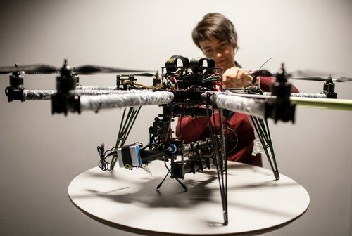
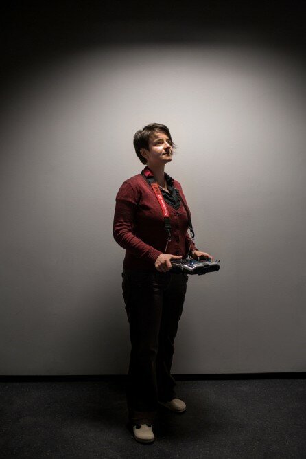
Finding oil deposits depends greatly on having a clear understanding of local geology. Till present the researchers have been using ground-based laser scanners (LIDAR), infrared sensors and cameras to replicate the landscape, but putting instruments on the ground is both time-consuming and limited to lower ground areas. The Virtual Outcrop Geology (VOG) group at the Norwegian Centre for integrated petroleum research (CIPR) has devised an efficient method of oil exploration: theyâre using UAVs to build 3D models of the terrain and map new oil reserves from the air. Pictures shot with the help of a drone complement the images from low-level terrain that the researchers already have in hand and as a result they get more precise and complete 3D models. Simon Buckley, a senior researcher at CIPR and head of the VOG group, reports that, âA landscapeâs surface often reflects what lies beneath ground and corresponds with the rocks below the seabed. When we have an overview of the rocks and minerals in one area, it is far easier to make estimates about where to find oil and how the oil flows.â The drone is operated from the ground just like a radio-controlled plane; the pilot on the ground also operates the camera. The ground controllers who operate the UAV and its cameras need to be certified in a simulator by the Norwegian aviation authorities and must avoid populated areas to avoid drone crashes and not to hurt people.
Via:www.uib.no


